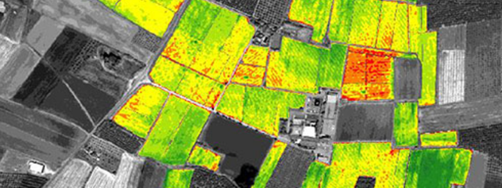
Based in Russia, Clizerion develops advanced satellite imaging solutions to address global challenges in agriculture, forestry, climate resilience, and urban planning. By merging geospatial data with AI-powered analytics, we transform satellite imagery into actionable intelligence for decision-makers worldwide.
Our mission is to enable smarter land use, climate adaptation, and environmental protection by making space data accessible and practical for industries and governments.
With expertise in Earth observation, data science, and sustainability, Clizerion empowers clients to anticipate risks, improve efficiency, and make informed, evidence-based decisions.
Our Mission
To democratise access to satellite intelligence, enabling industries and communities to thrive while protecting the planet.
Vision
To become a global leader in space-powered environmental intelligence, driving resilience and sustainability across every sector of the economy.
Our mission is to enable smarter land use, climate adaptation.
Core Values:
Innovation for Impact – Using cutting-edge technology to solve real-world problems.
Sustainability at the Core – Ensuring data and insights contribute to a greener future.
Global Responsibility – Supporting communities, industries, and ecosystems through informed action.